Texas; Big Bend National Park and more

Texas is large, very large. East to west it would reach from Washington DC past St. Louis, Missouri. North to south it reaches from Boise, Idaho to Phoenix, Arizona. It has room to house the smallest fifteen states with space left over for a couple more Delawares and a few Rhode Islands as well. The border towns of El Paso and Laredo are getting a lot of “wall” press right now but there are a dozen cities whose names you likely recognize: Dallas, Fort Worth, Brownsville, Houston, Waco, San Antonio, Lubbock, Amarillo, Austin, and Corpus Christi. Whether you know these cities from old cowboy movies, from Janis Joplin (Port Arthur actually), from college football, or from NASA space shots the names conjure up images of a modern industrial, oil-rich, state with huge expanses of open space, perhaps dotted with cattle. Cattle country as much a space shuttle country. Hot and windy country with surprisingly cold winters. There are horses and cattle and rustlers and cowboys that also decorate our mental images. But mostly the cities are cities and the country is wild.

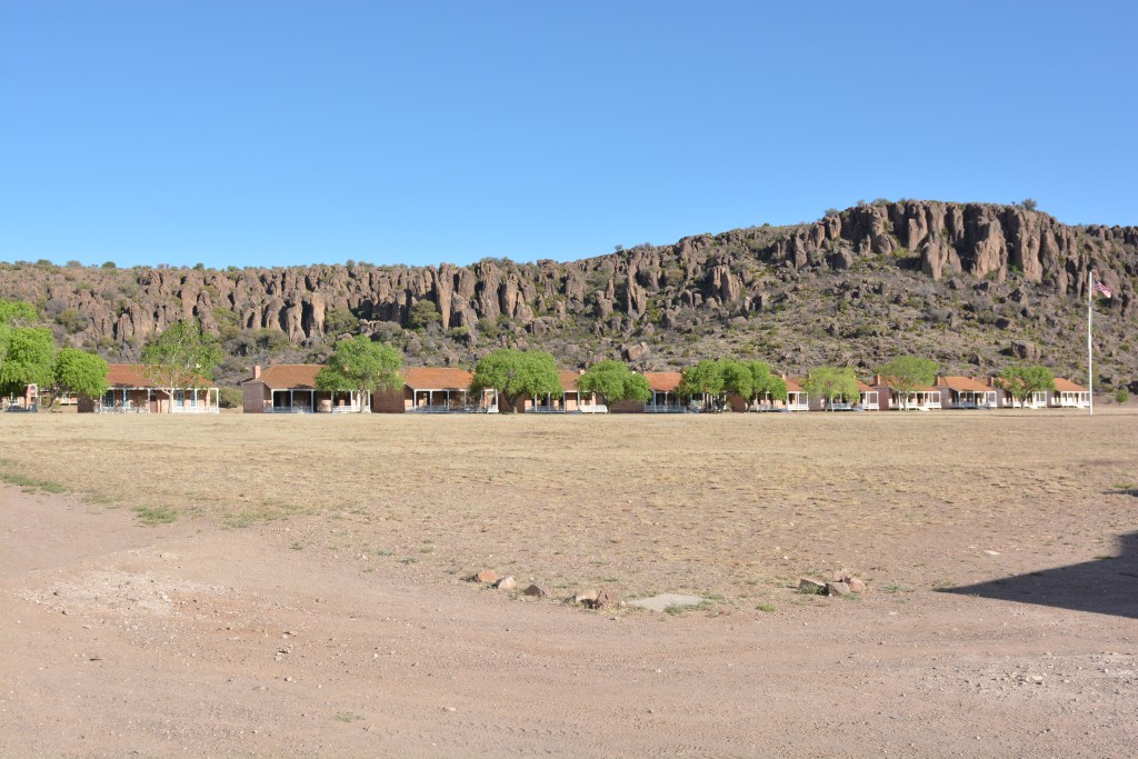
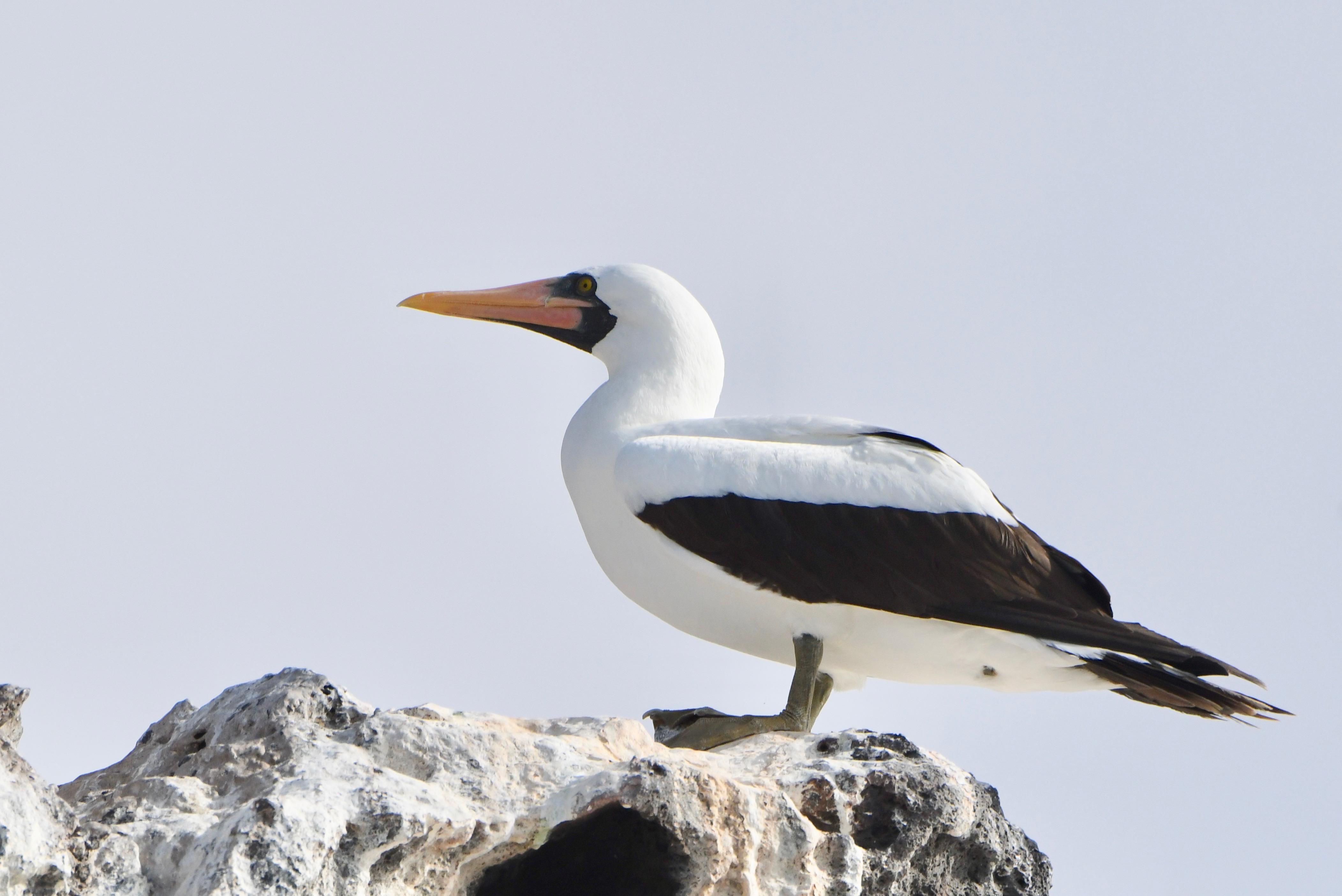
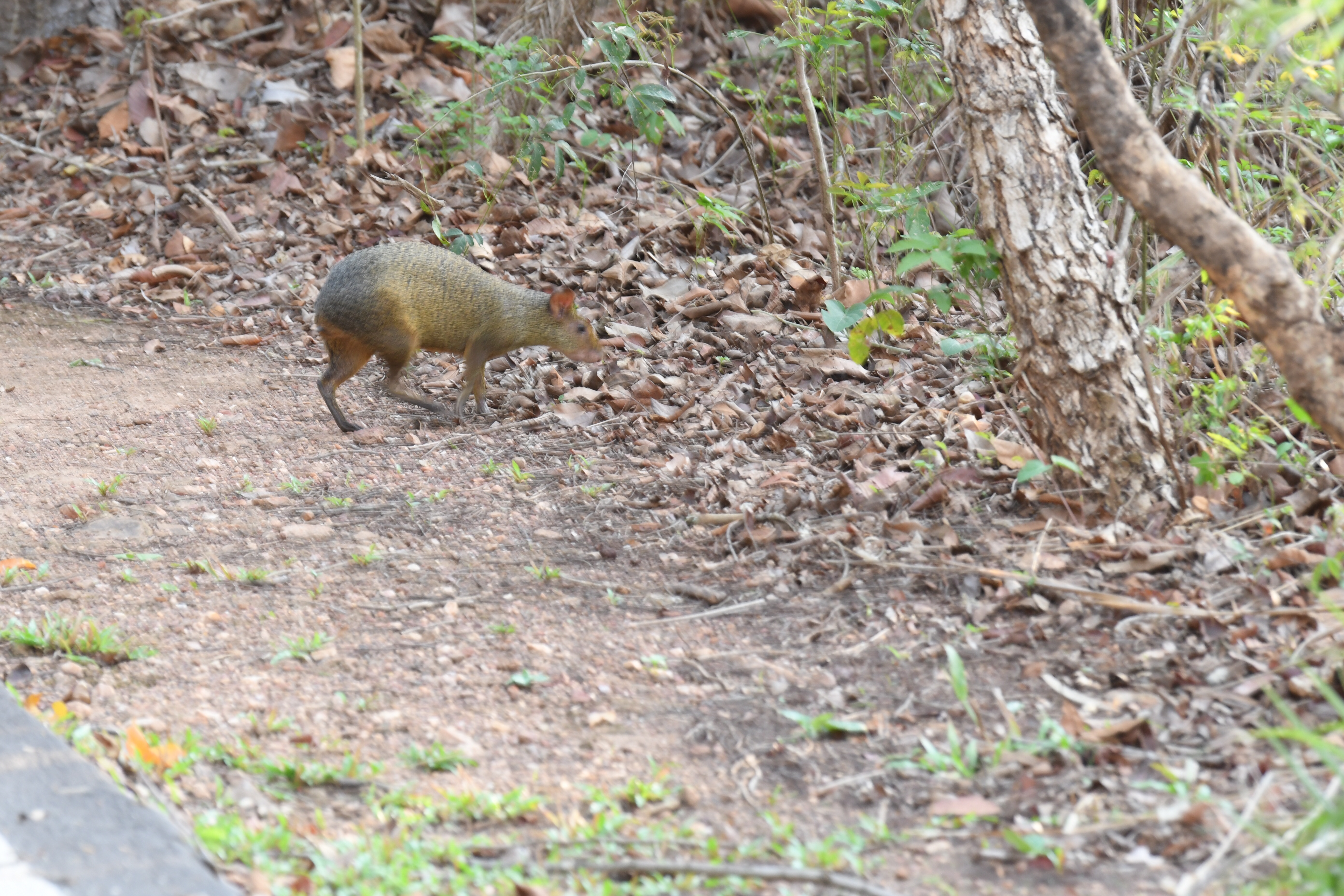
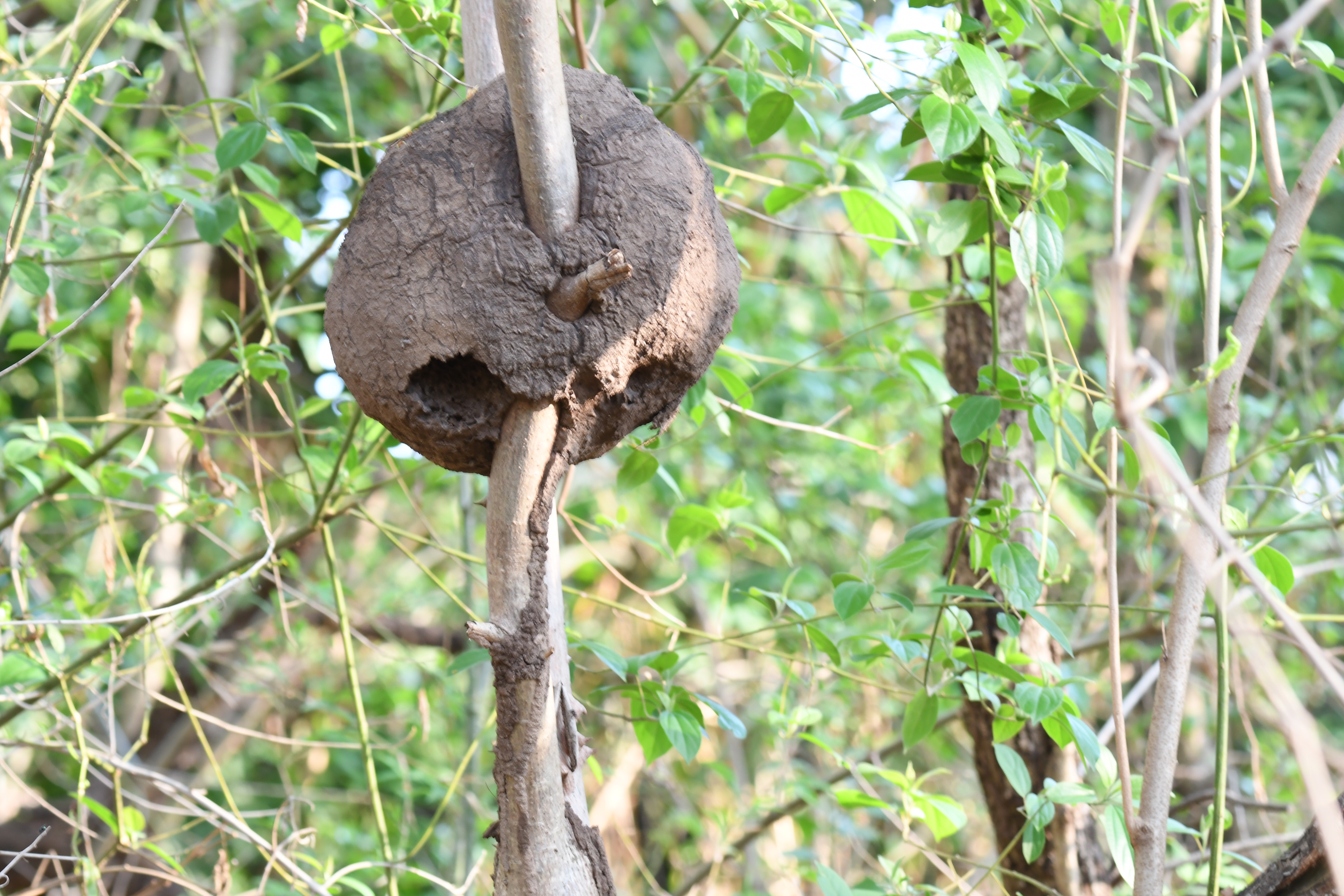
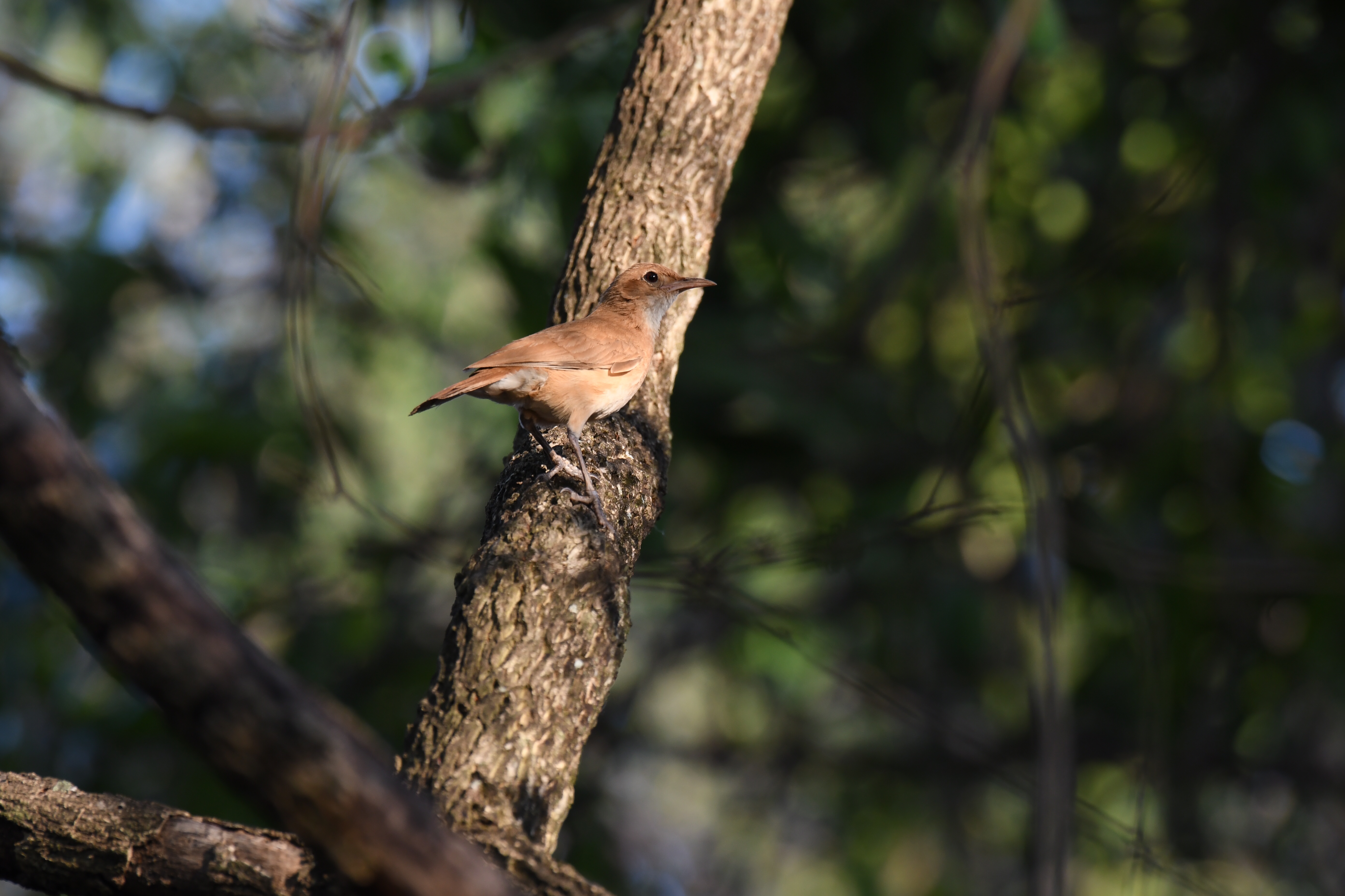
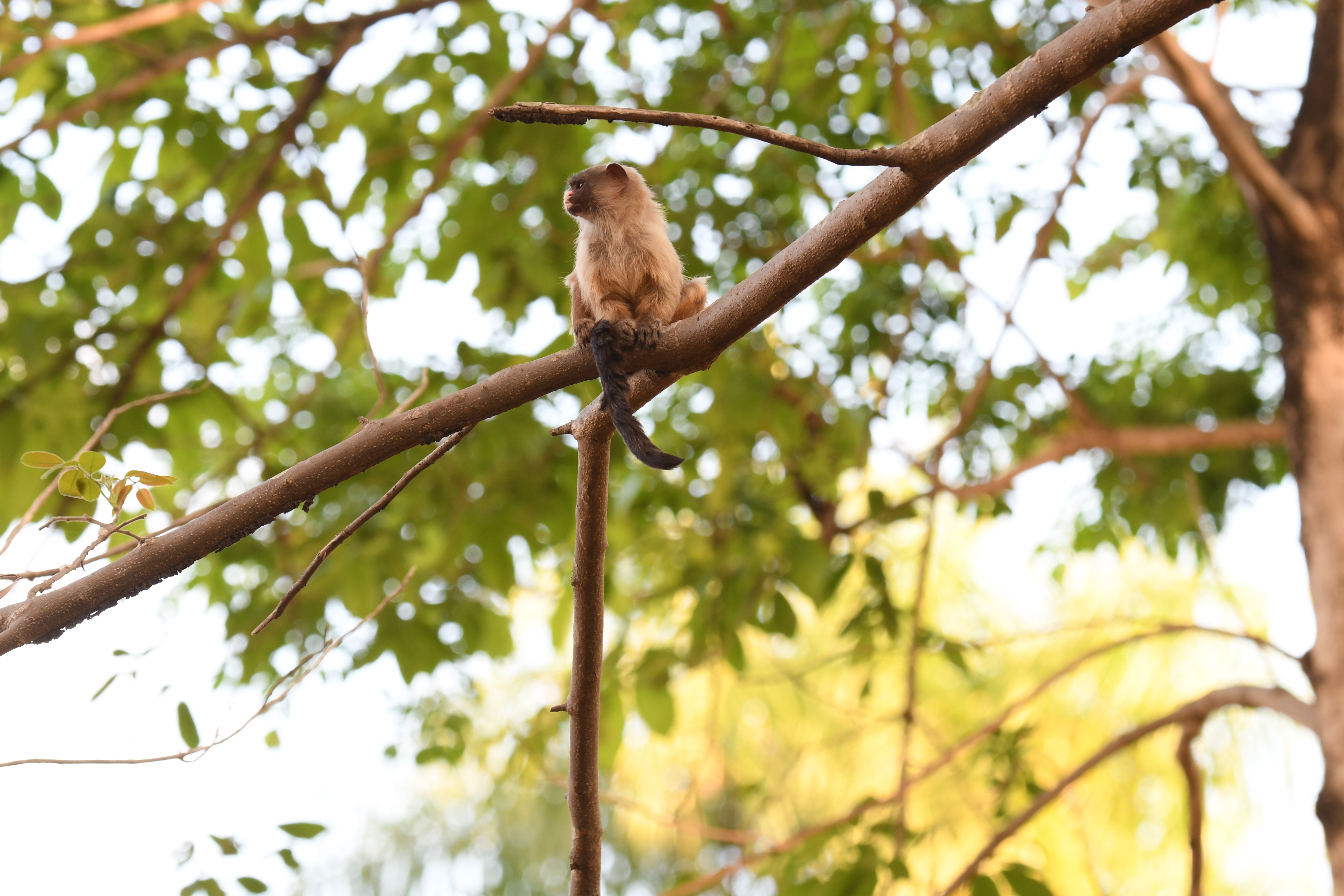
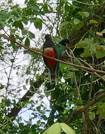
Texas is all of the above and more – but I am going to show a bit of the nearly empty, spectacularly beautiful (geologically speaking), southwestern part of the state. Big Bend NP is over 800,000 acres of Chihuahuan Desert. There are well over 1000 arid-ground plants, 400+ bird species, 55_+ species of reptiles, and about 75 species of mammals that live (or pass through) this region. The geology is simply amazing and the Rio Grande River flows along the southern edge of the park for more than 1000 miles. The park was established in 1944 and gets about half a million visitors each year.

Here at Santa Eleña Canyon the river passes between two 1500 foot high walls, leaving Mexico on the left and the US on the right. Near the right hand edge, in the middle of the image, there are a few people who have walked the trail along the US side to an overlook.

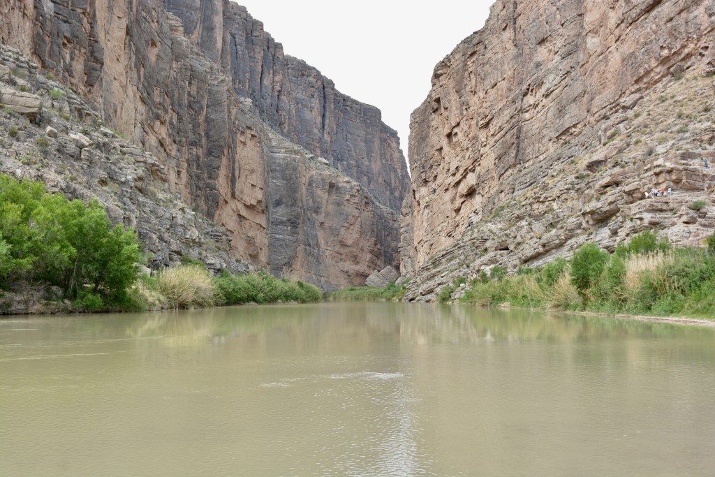
In reality the southern half of the river, southern from mid-way in the deepest channel that is, is actually in Mexico; the border is the center of that channel. The river is rather unimpressive throughout is length. It fluctuates greatly with rainfall but is usually a placid brown river flowing rather gently. Crossing it has never been much of a problem for area residents whether man or beast.

The area was inhabited by American “Indians” for several hundred years. The Chisos Indians were a nomadic nation of unknown derivation but with an Aztec-based language. They were followed by Apaches of several types. The best known may be the Mescalero Apaches. They were given that name by the Spaniards because they used the mescal (an agave) for food and drink. (Tequila is made from Blue Agave and mescal, the liquor, can be made from any of thirty different agave species; there are 200+ agaves species all together. Mescal is made in Oaxaca, Mexico mainly.) Anyway, the American army was located in these southwestern desert areas to protect the westward migrants in the decades after the Civil War. It was during that period that the trails were established that allowed people to reach California and when many of the towns and cities along the trails were established to service the travelers. Not many west-bound travelers traveled as far south as the Big Bend area and the fort to the north, about 100 miles, was abandoned in 1891. Fort Davis was home to the famous Buffalo Soldiers; these were the members of the Ninth U. S. Cavalry; an all black soldiering unit formed just after the Civil war ended. As the Indian Wars ceased and our westward expansion was by more northerly trails the fort lays deserted for almost 100 years before historic restoration began.

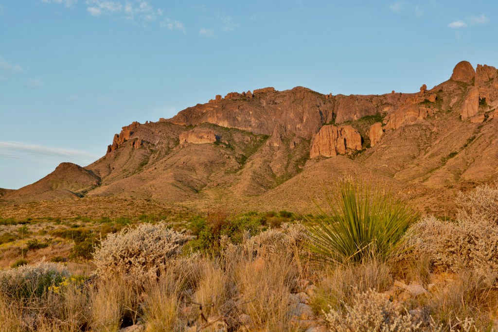
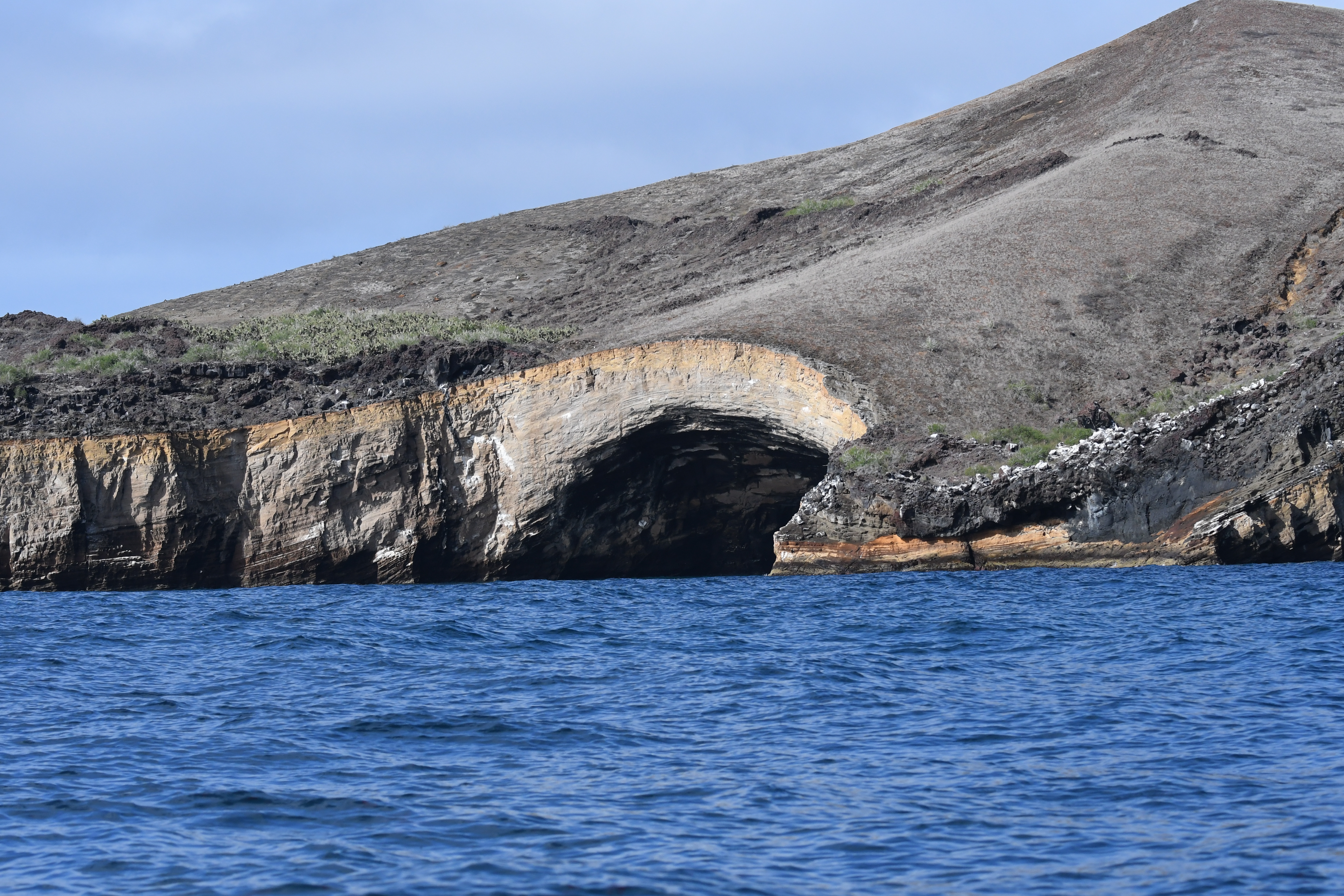
The geologic history is both amazing and vividly on display. There is obvious volcanism, stark inselberg towers (we may call then monadnocks), tuff layers, pyroclastic flows, dikes, and sedimentary layers; all laid out for the observer.

Because we (most of us anyway) cannot look at a scene and know its geologic history we are fortunate that the park service and others have provided a great many interpretive devices for us.

The mountain building that now forms only the base rock of the region occurred about 550 million years ago. This happened when the South American tectonic plate moved in on the North American plate and immense pressure squeezed up the edges of the plates, forming a mountain range from the uplifted edges of the plates. There was later a great period, 60 million years or so, where the US east of the Rockies and west of the Appalachians was under a great sea. Vast beds of ocean debris, largely calcium carbonate stuff, formed during this period and now makes up a goodly percentage of the rock in this part of Texas. The center of the US was covered in sea from about 120 million years about until about 65 million years ago.

The western Interior Seaway persisted as mentioned above. The central part of the US was under water for 35 to 60 million years! That is why there is so much limestone-based geology in west Texas and the US east of the Rocky Mountains. The sea grew and shrank over the millennia and it is hard to put exact dates to any particular phase – but the ocean was significant for a very long time.
The restored Fort Davis has a large empty parade ground with very nice buildings against a backdrop of southern Texas rock. There were a few hundred men and horses stationed here in the 1860s, 70s, and 80s. It was a hot sand dusty spot I’m sure. The Davis Mountains are higher and moister than the Chisos Mountains inside Big bend NP.
The scenery in this part of Texas is simply great. Agave, sotol, and greasewood predominate in many places but there is also ocotillo, opuntia , and cholla as well. Not a place to walk barefoot for sure, but a great place to see how time and evolution have allowed plants and animals to adapt to a rough and rugged countryside.
Many of the roads in the park are dirt or gravel, but they are smooth and hold together nicely. The roads material is usually held together by an abundant limestone “cement” called caliche which is added to the road bed gravels. This caliche is a soft-stone remnant from the ancient ocean that is mostly calcium carbonate and serves as a natural cement. It is a very obvious mineral in every road cut as you drive south toward the park. From Midland-Odessa south there is a reasonable economy based on mining caliche. Mid-image on the left you can see Fran trying for a picture of a bird in the leafless tree at the very left.
Layer after layer, tier after tier, the geology of the area speaks too an ancient history and displays the passage of time; lots and lots of time. Once stark mountains now eroded to worn rocky hubs, hard volcanic cores still persisting after their softer outer coverings have worn away, and broad valleys now filled with the silt and rubble that once stood tall as a proud mountain range. Great stuff.

Africa’s Bat-eared Foxes

Please treat images as copyrighted and contact me if you would like to use an image. Thank you.

The Bat-eared Fox is a small canid; both diurnal and nocturnal, and an avid hunter … of termites! Yup, they really are designed (adapted) to find, follow, and eat Harvester Termites (often called Harvester Ants). The ears are splayed out horizontally and, with the head down, act like oversized hearing aids when listening for the termites in the night. They might also eat beetles, other bugs, and occasional fruit; but termites are the creatures that have driven the evolution of these diminutive creatures.

Throughout much of Africa water is a seasonal commodity. Water holes, rivers, and a few lakes provide permanent water, but it is rainfall and seasonal patches that provide liquid through much of the year. This Bat-eared Fox has its own little puddle adjacent to a water hole. This fellow had a few doves and sparrow-larks, and a single warthog at the water hole with him. They all ignored each other. When there are puddles there are usually puddles everywhere so animals don’t congregate as much as they do towards the end of the dry season. As you can see the water is rich in local minerals; this is not spring water!
There are always droppings from antelope and gazelles on the African plains and bushland. This Bat-eared Fox heads back toward its den past the droppings of Impala. The photo is from mid-day and thus quite light, but the grasses in the top right were certainly not lush and green. During the dry season and at the beginning of the rainy season the plains and savannas are very dry and brown. Often the grasses disappear totally leaving only a crown of growth just under ground level. Much of the great Serengeti grassland fluctuates between dry and dusty and wet and slick.
Able to feed throughout the 24-hour day, the Bat-eared Foxes spend much of their day in, or near, a shallow burrow that they have created or found. The adult pair will have up to six young and this will make up the group. The youngsters will wander off after reaching adulthood but at any moment a group of foxes that you might see consists of a mated pair and the young of the year. They are sort of cute in the sun aren’t they? This is likely to be two adults out of the burrow and a “teenager” looking at the camera.
They have the facial features of a creature sitting on a stool in the Stars Wars bar scene. I am sure that real animals provided good leads for the developers of all sorts of fantastical movie creatures. Certainly the Bat-eared Fox has a charming mix of innocence and weirdness. And, perhaps a bit of a sinister look.

The Harvester Termites are an ancient form of termite. They do not build mounds but do excavate a large convoluted series of tunnels and chambers under the ground in which they live and breed. They gather their vegetation from the surface and bring it back to the colony site. The termites are both diurnal and nocturnal.

Island Biogeography

Islands are dynamic wild laboratories. Picture a block of sea floor lifted from the abyss by tectonic action or a steaming pile of lava rising from the boiling water as the earth’s innards are expelled upward. Each of these could become a remote isolated island surrounded by salt water; barren and empty.

Now picture yourself returning in a hundred years and then a thousand years and then again in ten thousand years. What changes can you imagine? It is likely that the uplifted piece is now vegetated and full of insect and bird life. Even the stark lava island could be harboring sea birds and plants that grow in their droppings. There might be hardy creatures like lizards or turtles or even land birds. Now think about New Zealand, Hawaii, and the Galapagos Islands. This is not hypothetical – this series of events has happened over and over and over again. The following books speak to island life and evolution and things that might (nay, must) travel over our planet filling empty places and leaving places less suited – or making the necessary changes to survive.

Islands as a laboratory was the concept behind Wilson and Simberloff’s work in the Florida Keys. It was actually Wilson and MacArthur who coined the term “island biogeography” which was tested by assessing reestablishment of life on small mangrove keys; a project of the early 1960s which involved Simberloff and Wilson..
Jim Costa writes of the research and insight shown by the two men who wrote first of natural selection. Darwin influenced by his journey around the world aboard the Beagle and Wallace by his collecting in the remote islands of the Malay Archipelago. Each was influenced by life seen on islands especially when compared to nearby mainland populations.
You should read whatever David Quammen writes!! Plain and simple.
In this book he collects a group of stories about islands and creatures. Large animals and small animals; explorers and thinkers. As expected there is Wallace and Darwin and Ed Wilson and Thomas Lovejoy and of course the Dodo of Mauritius playing important roles; but the story is in the telling and thanks to Quammen we are part of a grand exploration – into the stunning simplicity and complexity of our world.
This volume should be available in used book stores by now. It is the predecessor of the many books by Wilson and the one that sets the stage for much of his thinking and for our understanding of the complexity that adaptation brings. Specific habitats can be like islands; jungle adaptations, wetland or riverine or rock cliffs all are specific and in many ways isolated – each a small test; a laboratory for the future.
If you want adventure – travel with Hadoram. He lives out of a backpack. He carries a monster camera and he seems to be always at sea. This book is a field guide for sure, but it reflects the life and times of those creatures that rarely come ashore and the many creatures who never come ashore. It offers a close up look at the animals that have succeeded (so far) in adapting to oceanic life and the use of rocks and islands for nesting and resting.
The Galapagos Islands are variable; those in the east are worn and weathered, smooth and low, vegetated but tired. the islands in the east are volcanic and raw, jagged and tall, often barren but vibrant. The west is where the nutrients are, cold water upwellings, volcanic activities; sperm whales and lots of life. In the east they are a bit softer, quieter; but the east is where the albatrosses are and there is still a lot of life. Then there are the people; residents, fishermen, tourists, and scientists. It is because these are largely waterless islands that they remain so undeveloped. They could have been Hawaii or New Zealand – places where the natural world, the life that evolved there, is largely just a memory. Islands are cradles of evolution but can that dynamic be stalled or even stopped?
Guam presents a story that should make us all afraid. Pretty much all vertebrate life has been eradicated by a new resident. No in this case it isn’t humans, or rats, or cats, or goats – it is a brown snake. And, it is everywhere. This story exemplifies what happens on islands when things go wrong. In many cases (perhaps all islands have felt this blow over the millennia) the invasion is a natural phenomenon. In other case we bring the problem to the island.
So, we see islands forming and transforming. We see plates moving and continents rearranging themselves. But the explanations for how life reaches remote places and moves around the globe have been a bit glib and unproven. This book is a story of times and timings, of good fortune and dramatically bad luck. Riding a tectonic plate seems possible but not really says de Queiroz; a chance happening is possible, more likely, and frequent enough to actually explain how life moves over our earth. This is a good read.

Galapagos (#2) Boobies

Please treat all images as copyrighted. Contact me if you want to use any photo. Thanks, DEC.

The nearest relative to any of the boobies which can be see in northern hemisphere waters (Atlantic only) is the Northern Gannet. Aside from the Sea of Cortez in Mexican waters where occasional Blue-footed Booby sightings are recorded, we rarely see any booby on the west (Pacific) coast. The Brown Booby is in the Virgin Islands and wanders northward – but none of the Galapagos boobies are expected in the US.

The Galapagos Islands have many unique animals; mostly reptiles and birds. The mockingbirds, finches, tortoises, and iguanas get a lot of press but the single albatross and three booby species present in the archipelago are sort of next in line. The Lava Lizards are also island-adapted but not mentioned very often at all. And plants, especially the Scalesia “trees” (those giant daisies) have “speciated” as they have adapted to different islands as well. Remoteness does interesting things to organisms. You can read about island evolution and biogeography in the next blog page which will look at some books that detail these happenings.

But let’s look at the boobies. In the Galapagos there are three species of boobies that you can expect too see; Blue-footed, Nazca, and Red-footed. The Blue-footed Booby is the most easily seen as they are on most of the islands and tend to feed by diving into nearshore waters. As a visitor we are almost always in these nearshore waters and this increases our chances of close encounters with the blue-foots. All boobies are about the size of a Canada Goose, maybe a bit smaller, but not much smaller. They are streamlined and have a solid pointy bill – this makes a high-speed diving entry into the water relatively safe. The Blue-footeds are a brown bird with a white belly and a mottled head and neck and very blue feet.

The female Blue-footed Booby is larger than the male, has darker blue feet, and has a much larger pupil in the eye. The female in the picture above is the rear bird facing left. If you were there and watching their courtship behavior you would hear the male whistle and the female honk. The solemn, and somewhat goofy-looking, slow-motion lifting of the blue feet is part of a pairing ritual that can go on for weeks. They will lay up to three eggs and in a very good year might raise three young; but nestling cannibalism in lean years often brings the success rate down to one.
Waiting for the tide to deliver some lunch, or resting while digesting after feeding – I have no idea what this Blue-footed Booby is actually doing – perhaps simply enjoying the point and counterpoint of the lava rocks adjacent to a coral sand beach on the island of Floreana. It had a great perch for viewing the beach, our ship, and the group of tourists.
This young Blue-foot is out of the nest (actually there isn’t much of a nest at all) and hanging out on the beach. The “sand” is a mix of lava and coral bits for the most part and the bird is just waiting around for the parents to feed it and for its feathers to grow out. The analogous age for a human would be about 11 years old, maybe 12. Blue-footed Boobies breed on all the islands south of the equator and are quite common. It probably won’t be a breeding bird for another three, maybe four, years.

The Nazca Booby (below) is the largest of the archipelago’s boobies and is most often seen on its favored guano-covered roosting rocks. Like most of the larger island birds they prefer to jump off a promontory into the wind to get airborne. They all can take off from land (excepting the Waved Albatross perhaps) and also from the ocean surface, it is just easier to fall into the wind and sail away.

The Nazca Booby is the largest and whitest of the Galapagos boobies. With its black face and wings it is easily differentiated from all other birds. The Nazca is similar to another tropical booby, the Masked Booby and for years was considered to be a sub-species of the more widespread Masked Booby. The Masked is found between the tropics (Cancer and Capricorn that is) in the Pacific, and mostly in the mid and western Pacific. The Nazca Booby always lays two eggs and raises only one young. The Nazca Booby has an orangish bill where the Masked Booby has a much yellower bill.
Nazca Boobies feed well offshore and are usually seen near roosting and nesting areas and rarely seen diving for fish. If you are fortunate to travel to a northern or western island in the day time you might see Nazca Boobies well off shore. There are lots of birds that use the open ocean as a feeding resource and others that remain nearshore.
For all birds, but especially those that both fly and swim, feather maintenance is a matter of life and death. Combing, arranging, oiling, and layering feathers is a constant activity.

The third booby of the Galapagos is the Red-footed. This is the smallest of the boobies and one that actually has two color morphs; a brown phase and a white phase. They are spread around the world but do not nest near the USA. There are colonies near the Yucatan and off the Mexican coast. In the Galapagos they are mostly of the brown morph and have several unusual characteristics.

The Red-footed Booby is often in trees; they sit in shrubs and trees with ease. They build stick nests in coarse shrubs and lay just one egg. The egg is incubated for about 45 days. The young is a flightless nestling for another 130 days or so and is fed by its parents for another 90 days after fledging. That is 265 days of intense parental care and obligation. If you ad in the courtship displays and behaviors it encompasses a whole year.
Red-footed Boobies have an overall brown look with a whitish tail and blueish beak (or bill). Populations around the globe tend to have a color bias; in the Galapagos they are brownish. The Red-footed Boobies, with their shrub/tree orientation often nest in the same areas as the frigatebirds which also use vegetation for display and nesting.
This last image is interesting – it is a Red-footed Booby that I photographed just off the beach on Floreana. The Red-footed Boobies tend to feed away from the islands in deep water. It is unusual for it to be nearshore and off an island where it doesn’t nest.

Galapagos – 2019 #1

The Galapagos are small volcanic islands about 600 miles off the South American coast, almost due west of Ecuador. They were formed, and are still forming, from an active hot-spot area on the edge of a tectonic plate moving to the southeast. Thus the oldest islands are in the east and the newer ones in the west. The eastern islands are worn and low where the western islands are still geologically raw and much more elevated. The islands are mostly lava or tuff; both of these materials are products of volcanic activity.  The whole area is a national park and access is restricted. Even Ecuadorian residents can’t have boats and cruise around the islands. There are some local fishing permits allowed and used, but commercial fishing is kept outside the boundaries of the concurrent National Marine Sanctuary that surrounds the islands. It is not a recreational site.

DSC_3167.jpg
You arrive in the Galapagos by airplane and then travel by boat. There are many tourism boats in the islands and arrangements should be made well ahead of a visit. There are boats that sleep 10-20 and then a few larger boats that sleep as many as 90 people. The larger boats are faster and can reach the western islands and those smaller islands that are open to visitation in the north. The smaller boats can get into shallower bays and inlets but the bigger boats offer much broader coverage. The Ecuadorian government regulates the routes the boats follow. There are outings of varying lengths and the routes for each outing is predetermined by the NP people. It is wise to look into your desires and then choose an outing that gets you to the places you most want to visit. Not every outing will see all the highlight creatures or habitats that are the Galapagos.
dsc_3338
Much of the area is coast, as you might guess, and landing is both restricted and often difficult. In many cases the lava dives into the ocean. In other spots it is a layering of volcanic ash that forms the land. In a few spots the ocean has deposited broken shell, urchin bits, and fish-chewed coral on to what might pass for a sandy beach. These “sandy” bits are where the Marine Iguanas deposit their eggs; it is valuable and delicate turf. The animals above are Sally Lightfoot Crabs. The male has his back to us and the female, a bit more colorful, is facing him. They are on lava that is covered by high tide.
dsc_3711
Like the animals of these far flung young islands, the vegetation has arrived from elsewhere. Insects and birds can fly or drift but most plants, or their seeds, cannot. However the birds often carry seeds in their feathers or on their feet or inside themselves as food stuff. These seeds then find themselves deposited either in the ocean (a dead end) or (the lucky ones I suppose) on land some distance from where they started. Over time the plants have adapted to the various islands. The Opuntia cactus (above) and the Scalesia (a daisy turned into a tree) have developed many forms (species, types, populations) in the isolation of this archipelago
dsc_3398
The lava is both aa and pahoehoe. The aa lava is chunked and angular where the pahoehoe lava is either ropey or smooth. Both occur in the Galapagos. The lava is not suitable for most plants but it is there on barren lava that the Lava Cactus seems to do quite well. The scientific name, genus name actually, for this cactus refers to its being short and candle-like; Brachycereus (nesioticus).
dsc_2898
In many places it is ash or layered tuff that forms the light layered rock. Ash is the name for stuff blown out of a volcano,  but it is not light and fluffy like wood ash. It is often hard and crystalline. Volcanic ash is like sandpaper grit. It will pile up and compress into a rocky sort of sedimentary layer. Over time the layers build up and, as here in the Galapagos, form the basis for much of the island geology. In the image above there are a few small Marine Iguanas on the rock catching the warming sunshine.,
dsc_2737
In the western islands there are some impressive layers, and layering, of tuff. They speak to older volcanic bursts and give us a clue as to the comings and goings of marine islands. The islands form as tuff, ash, or lava accumulates. And they erode into the sea as waves and gravity take their toll. Unto everything there is a season; and the earth itself adheres to that adage.

Yard Birds and Winter Water

Please consider all images too be copyrighted; contact me if you want too use an image. Thank you.

Feeding the birds is a special treat during the winter. Many bird species seek out the extra calories and readily take advantage of our offerings. Sunflower (either in or out of the shell), thistle or niger, white millet, cracked corn, beef suet or suet cakes all have their groupies. Shelter is nice as well and most feeders do better if near shrubbery. But, an often overlooked winter offering is water.

Birds need water year round and in the winter it is often more difficult to find. Using a heated bird bath, actually a heated drinking dish, makes life easy for you and the birds. There is no chipping of ice, boiling of water, or daily maintenance with a heated bath – or the guilt of knowing that they would like water and you’re not providing it. Heated water costs pennies a day and is a great addition to a bird-friendly yard.

I clamped our heated water dish to the corner of the deck rail this winter and have been able to enjoy close-up views of the birds as they drink. None have bathed yet; but they drink all day. The other day I clicked a few images through a double-pane slider as birds came and went about eight feet away. The pictures are not perfect but they give you the idea of what is happening in our yard. Take a look…..

2019 water siskin – blog featured
Pine Siskins are but one of many species attracted by winter water. They are not annual winter visitors. They are an irruptive species showing up some years and not others.  Other irruptive species are Evening Grosbeaks, Common Redpolls, and the two crossbills (Red and White-winged). 2018-19 has been a good year for the grosbeaks and crossbills, but not so much for the others. The hypotheses regarding the reason for this are at conflict; some say lots of food and lots of youngsters allow birds to wander, where others say lack of food forces birds to travel in search of food. Oh well, enjoy them for the brief time they are with us.
2019 water chickadee blog
The Black-capped Chickadee, or one of its cousins, is a common bird throughout North America and Canada. The one here is the Black-capped and it is a common bird of the woods and thickets. This look straight into its face barely shows the black eyes and bill as they seem hidden in the black feathers of the face and chin. This winter we have very few chickadees at our house and at our feeders for some reason.
2019 water gold finch blog
The American Goldfinch is another common bird throughout North America; and one that often appears in flocks. The bird above is likely a winter-plumaged male just starting to get a few of the breeding feathers that will turn it golden. The females are a green-gray throughout the year.
2019 water red nut blog
This Red-breasted Nuthatch is quite common in our pitch pine/black oak woods. Most years the larger White-breasted Nuthatch outnumbers the red, but not this year, at least at our feeders.
2019 water pine warbler blog
The images above and below are of Pine Warblers; a female on top and the male below. They are not uncommon breeding birds in our pine woodlands but much less common in the winter. Like most warblers they have a thin bill that acts as a pair of pointy tweezers in picking up small insects and their eggs (or other tiny food bits) from the bark of trees.
2019 water pine warbler blog
This male Pine Warbler is much more colorful than the female, even in the winter. There is value in a drab female as she sits on eggs in the nest; but why do the males have to become so colorful? The evolutionary push behind fancy feathering has to do with “female choice”. Perhaps the more colorful male is displaying his hunting and feeding skills and that he has energy to burn or at least energy to turn into pretty feathers. Or perhaps it shows that he is genetically stronger than other less colorful males. It may be as simple as – the females just like the fanciest male better than the others. It is likely there its a real genetic message in this plumage; it’s just difficult to test what that message is.
2019 water robin blog
Wintering American Robins are not uncommon out on Cape Cod. Most of our northern robins migrate southward in the fall and robins from the Canadian Maritimes move in; larger darker robins. But, we have robins of both types eating holly and cedar berries and the fruit of many of the common invasive plants. These large thrushes are often bullies at a feeding station but do provide a nice splash of color on a cold winter’s day.
2019 water blue bird blog
The Eastern Bluebird was considered a migrant which left the northeast US for Central America every fall. But like many species it now has a solid wintering population that remains resident even into the coldest weeks of the year. Today won’t reach 20 degrees Fahrenheit at my house and there are seven blue birds at the feeders and drinking water. I do admit to splurging on meal worms to feed them, but they were here before the meal worms became available.

Brazil’s Pantanal is a hot spot

The temperatures in Brazil’s Pantanal have been over 100 degrees every day. The sun is glaringly bright. But the wildlife is pretty cool. Here are a few images to get you thinking about what may follow when we get back home. I haven’t sorted any photos nor downloaded the SD cards yet. So I am hoping these are rather sharp….but remember these are just the teasers for what will follow. Viva Brazil.

The first image is of a six foot yellow anaconda. There will be plenty of anaconda blogs as this isn’t the only one we saw, or the only story to be told.

The second image is the head of a giant otter. The sharp teeth catch fish and the rest of the teeth crunch up the poor thing. The noise of their, open-mouthed, chewing can be heard for quite some distance.

The next two images are of two of the jaguars we found while working from a small boat while on a few of the rivers at the end of the Transpantaneira road. There is only one road here and no other options for a hundred miles east or west. Pretty remote. The best way to travel is by boat when there are rivers. Most of the area is seasonally flooded vegetated wetlands with no transport except on horseback. There are a hundred bridges along the road.

The next image shows a small group of the world’s largest rodent, the capybara, swimming in one of the waterways. Jaguars like to eat both caiman and capybaras. Caiman are a South American alligator.

The final photo is of a capped heron, one of the 230 bird species we have seen so far. There are more photos and narrative just waiting. So hang in there, more to come.

Cuiabá, Brazil

Fran and I are in the Brazilian Pantanal, the world’s largest wetland. We just arrived and have little to share but thought we should try to blog as much as we can. So, with some apologies here are a few thoughts from the first day – not really out in the bush yet so it will get better. A few notes about remote Brazil; we had to take a taxi to a large mall to reach an ATM and then we were eleventh in line. This is in a city of over a million people. Taxis are not expensive however. McDonalds’ outnumber KFC outlets. The women all have long black hair and wear black clothes. It is quite warm here; now and all year. We are quite warm and sticky pretty much all the time. This is the dry season and some of the trees have dropped their leaves.

The agouti is a small mammal that eats fallen seeds and nuts. It is a widespread little guy throughout the American tropics. It is easily seen from Trinidad through Brazil.

This is an arboreal termite home. This species builds in trees to avoid the seasonal flooding that occurs. The hole in the bottom was being looked at by a pair of Blue-crowned Trogons as a potential nest site. The trogons are shown a couple images below in a blurry and pixelated photo.

The Rufous Hornero is a common bird throughout the tropics. It builds a domed mud nest on fence posts and electric poles. A risky strategy perhaps but the are doing OK. The nest has a maze-like entrance to dissuade predators. I’ll post a couple nest photos in a day or two.

Monkey with “curlable” tails are a feature of the Americas. This is a Black-tailed Marmoset.

As mentioned the image of the trogons is pretty bad.
However the next few day will be rich in wetland birds and mammals.
Stay tuned.

Cook’s Boat and Australia

James Cook wasn’t a youngster when he entered the Royal Navy (British that is). Born in 1728, Cook was not from a seafaring family. He was an older teen when he started working (as an apprentice) for John Walker on barge-like boats ferrying coal between Newcastle and London. He studied and gained experience and in 1755 (27 years old) joined the Royal Navy. By 1757 he was a Master and looked on favorably by the two captains he had been assigned to.

He was in Canada as part of the blockade at the Foirtress Louisbourg (Cape Breton Island, Nova Scotia) that year. The fortress was surrendered by the French in mid 1758. For the next couple years his skill as a coastal surveyor was recognized and he was assigned to chart portions of the Canadian Maritime coast. He returned to London in October of 1762, married; and was then reassigned to do further charting of the Canadian coast. It was 1768 when he was nearly forty years old that he was chosen to be part of the series of worldwide expeditions to observe the Transit of Venus which was to take place on June 3, 1769. The Royal Society had expeditions all over the world to record, measure, and time this event. He left Plymouth England in August of 1768, as the captain (though still a Lieutenant) in a recently outfitted ship now called the Endeavor – taking five months to reach his assigned location in Tahiti.

There are dozens of books on Cook and his travels. Two of these are on the left below and the other two are simply great stories of exploration and science. The Day the World Discovered the Sun is the story of the Transit of Venus back in 1769. It was considered an eminently important occasion as it could lead to the reality of determining longitude – a surprising missing link in a sailor’s eighteenth century life.

Longitude is a title from the second set of images and is one of Dava Sobel’s great books. It is history and mystery, genius and backstabbing. A wonderful book that everyone should read. The Trial of the Cannibal Dog by Anne Salmond is a recap of Endeavor stories and incidents written by a very good New Zealand anthropologist, historian and author. The cannibal dog story sets the cultural scene for sailors of this era.

Lieutenant Cook and his new boat arrived in Tahiti where the sailors quickly made friends with the natives. The women were quite different from those of the harbor side streets of Hull, Plymouth, or London and the natives were enamored of the bright and shiny things the vessel brought into Camp Venus. The men chased the women and the natives pilfered European metal goods and other things at will. It was an active period as they readied for the Transit of Venus; even as the telescope pieces and parts were stolen and then returned the day observations were to be made. After the Transit, there were a few men who didn’t want to leave (no surprise) when the ship was ready to sail but they were found and brought on board.

The adventure had brought them from Great Britain around Cape Horn to Tahiti. After Tahiti Jame Cook had a sealed envelope that when opened ordered the Endeavor to sail south looking for a land mass in that southern ocean. They sailed south toward the Antarctic (is was very cold in March) until they encountered sea ice and very cold temperatures, but no land mass. This voyage then headed home via the coast of New Holland (now Australia) where they were badly damaged by the hard corals of the Great Barrier Reef** and had to lay the Endeavor on the beach for seven weeks to repair the hullThey limped in Batavia (now Jakarta) for further repairs. In Batavia many of the crew (actually 84 of the 94) became ill with dysentery or malaria (Cook had established a diet that prevented scurvy from impacting the crew). They then proceeded around the Cape of Good Hope and northward along the African coast to Europe. Incidentally, the measurements taken regarding the Transit of Venus were not accurate enough to solve the longitude problem. Actually the great English science mind of Joseph Banks (eventually to be the leader of the Royal Society for decades and the young naturalist aboard the Endeavor) wrote more about his evening with native women than he wrote about the transit.

But the point of this blog page is to mention that the Endeavor was later used in the Falklands by the British and eventually carried British “redcoat soldiers” along the New England coast during the Revolutionary War. There were about 12 British ships tucked in Newport Harbor in Rhode Island in 1778 when a French force appeared. The British sunk their ships after removing everything from them, in an attempt to clog the entrance to the harbor which would keep the French at bay. The Endeavor has been on the bottom of Rhode Island’s Atlantic for the last 240 years or so. The Rhode Island Marine Archeology Project, after twenty-five years of looking think that they have located the remains of the long-lost Endeavor.

The house that Cook’s parents lived in after he started working on the collier in London is now a museum in Melbourne, Australia. The logs and maps that James Cook and Joseph Banks created are in vaults all over the world but the State Library of New South Wales in Sydney has a wonderful collection of both journals and charts. These are often on display in this grand library.

** The image at the head of this blog page is of Great Barrier Reef coral. The GBR is actually hundreds of separate small reefs and coral heads. Overall the reef is currently suffering from the deadly impact of warm water on coral. The light-colored corals in the image have been bleached as the warm water kills off the live outer skin of coral polyps. Rising sea levels and warming ocean waters, both from current global warming, may soon destroy coral reefs as we know them.