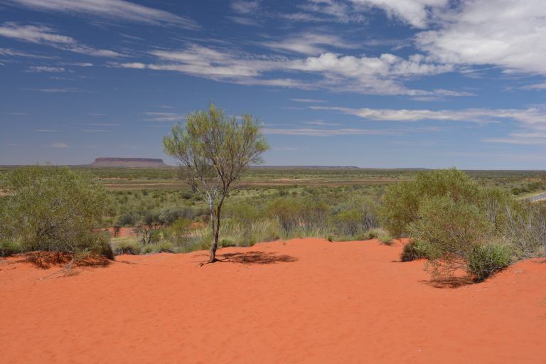
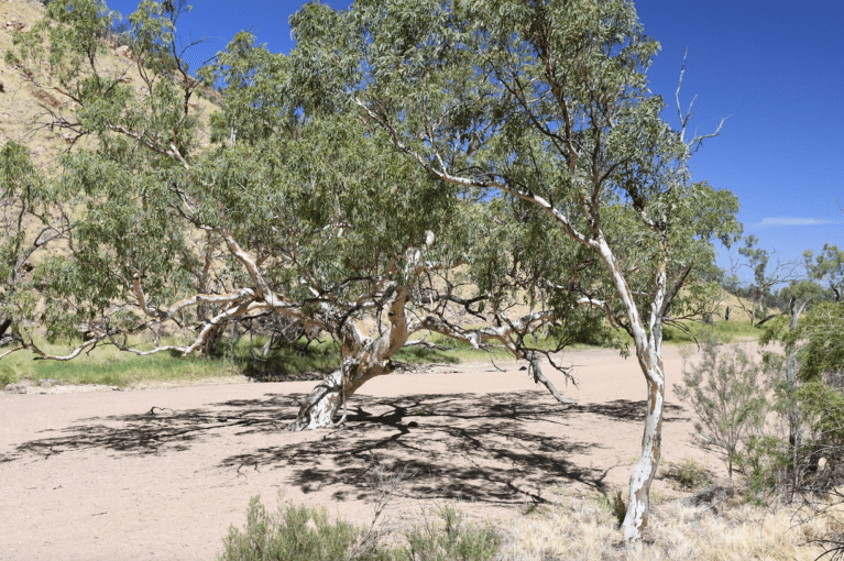
If you look through the tree in the middle you can see a longer lower ridge that extends across the middle of the image just at the earth-sky horizon. I have never been out to this feature as it is on private land, a large station (ranch), called Curtain Springs Station, but it has a great mystique to it.
When I say large station I mean really big; the Curtin Springs Station is more than a million acres in size; that is over 1600 square miles!! It is currently a mix of tourism and cattle ranching. As you can see in the picture grazing land is very sparse and water is unlikely. The station makes long range plans based on having a good year of rain every 7-10 years.
The management of the ranch is much more aboriginal in outlook than European. They try to protect habitat, utilize native grasses, manage rainfall, and eliminate feral animals and non-native plants. There are no planted pastures on the property everything is native.
The last bit of remarkable information is that within the 1,000,000 plus acres there is no surface water at all.
It was Peter Severn and his wife Dawn who first moved out here and established the Curtin Springs Station. It was Peter who laid out and installed the walk up Ayers Rock – a walk that is no longer allowed on Uluru. The walk was closed in November of 2017 at the request of the Anangu people, who hold title to the land. The post and chain guideline was installed in 1966. You can still walk around the base of the rock but climbing it is no longer allowed. The walk around the base is about 7 miles and takes at least 3.5 hours. Guided walks are available.
At the Curtin Springs Station they take in guests and provide a great deal of information on the area. There are hikes and overnight outings that are run by the station. The roadside part of the station is just a few miles from Uluru. It would make a great get-away spot.
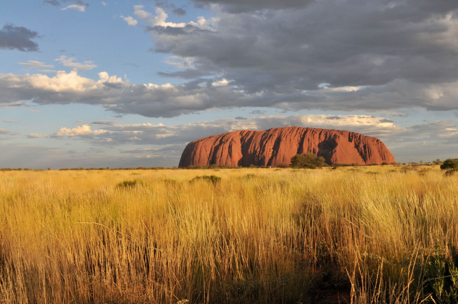
The scene in the above image is one of the most enthralling vistas in the world.
You can see forever; you look into our deep past from this vantage.
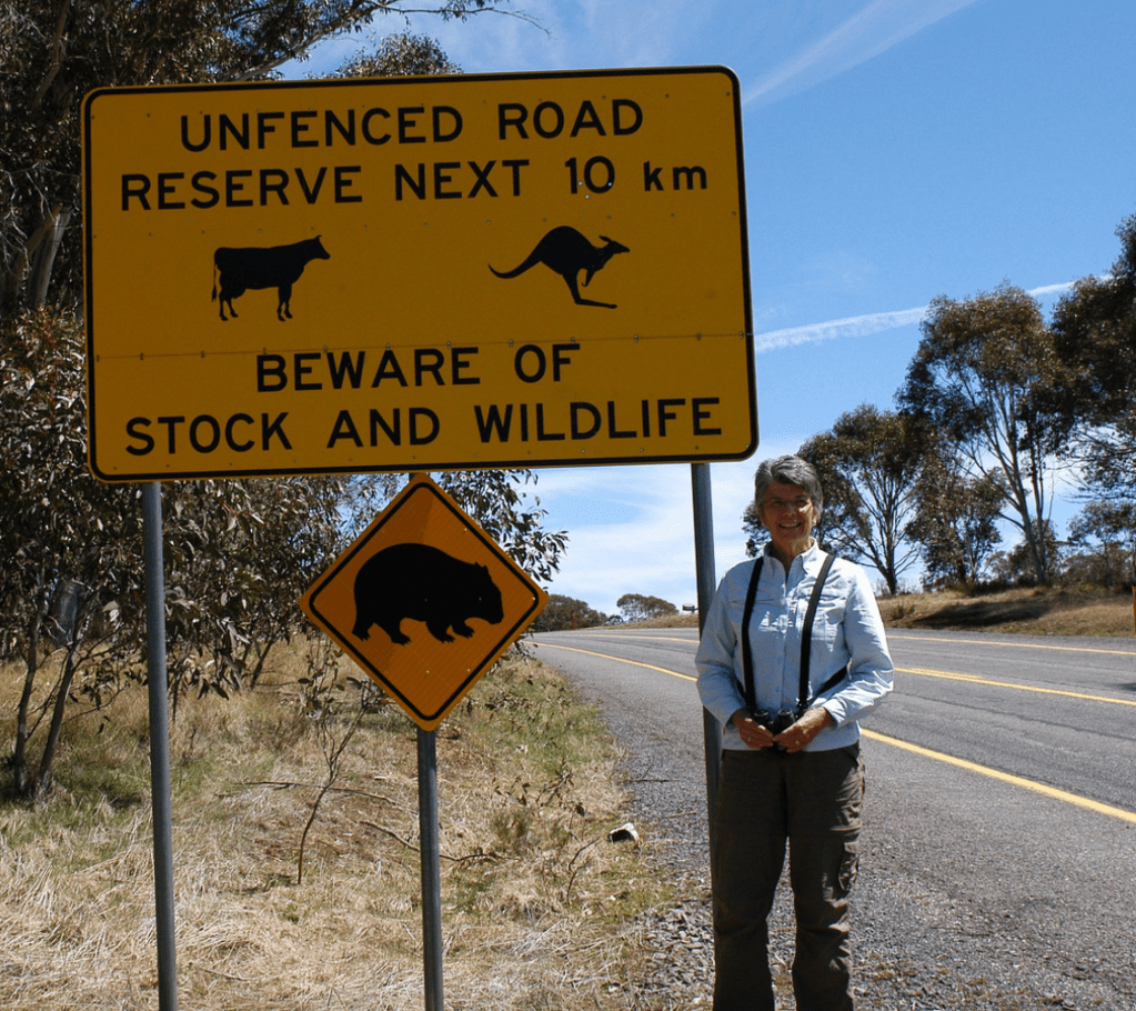
Road signs here are not like this in most places, they are frankly honest. As you drive along you may be warned about death from car and truck accidents or loss of flesh from motorcycle mishaps; often with graphics.
The beware-of-wildlife signs are also unique. There are “watch for kiwis”, “watch for emus”, and “watch for bandicoots” warnings posted throughout their habitats. On the main roads, where speed is likely, the warnings mostly deal with cattle – but kangaroos and wombats can be a problem also. There are signs for snakes, plovers, thick-knees, box jellyfish, sharks, and all sorts of other stuff depending on what part of the country you are in. The shark and jellyfish signs are not along the road — just in case you were wondering.
The real fear in most of the country is dehydration and sun burn.
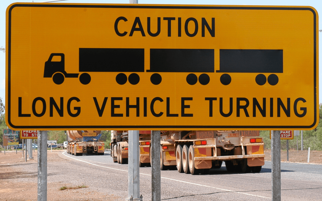
Almost everything everywhere is carried by a truck at some point in its journey to your neighborhood store or to your house.
In Australia there is almost no traffic in the Outback but there are thousands of miles of straight asphalt roads. With that in mind “road-trains” are allowed and planned for. Roundabouts are huge.
Some of these transport systems haul cattle and others haul minerals and still others move department store goods from point to point.
A road train usually consists of three trailers and one tractor – a length of just over 175′ when driven on public roads. They are not always easy to get past and they stir up quite a wind when they pass you. They are also difficult to park and thus truck stops have very large parking and pull-off areas – very large.
A better way might be to fly into Alice Springs Airport (ASP) spend some time in this historic and most interesting town and then, a day or two later, drive a few hours to Uluru.
Actually you would drive to the “town” that has been created at the Uluru site called Yulara. In Yulara there are residential offerings that range from campgrounds to basic accommodations and on to very upscale hotels for you to choose from. Probably you should choose your specific destination before arriving, as many of the places are very busy and often filled to capacity.
Yulara was laid out to repeat the cultural history of the site. Roads are planned to bypass religious sites and there are no scattered trailer parks, stores, pull offs, or roadside stands. This approach makes it an organized place to visit as well as representing an understanding of the ancient ways.
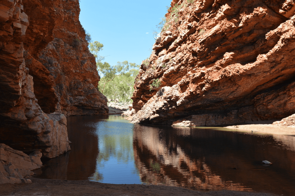
The image above is a small wet spot, it seems to always have some water in it, called Simpson’s Gap.
There are is nice flattened trail here, Black-footed Wallaby’s, a dried river bed, and very large Red River Gums (a rather typical eucalyptus).
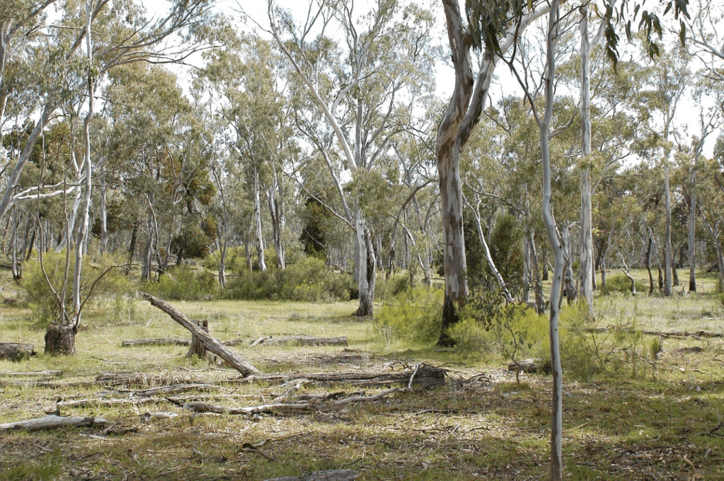
There is a more woodland jewel here as trees and undergrowth get enough moisture to survive.
