** There is another blog page on Victoria Falls that is very similar to this one. This was to be on the lodge where we stay and the local habitat – but I just get so excited by the river and falls. The next one will be on the Stanley & Livingstone Hotel.
The Zambezi Rivers falls off a cliff; sometimes there is a wall of water and other times not so much. The ancient lava flow that forms the basement layer of southern Africa was not a volcanic event with mountains being built and lava blown skyward. It was more of cracked-earth lava oozing sort of happening. It was a significant geologic event just not terribly showy. Ad the lava cooled, like mud left behind as a pool dries, the lava cracked and shrunk as it hardened. There is now a series of cracks and fissures, now filled with sediments or Kalahari sand, that are beneath the surface of Namibia, Botswana, Zimbabwe, South Africa, Mozambique, and Zambia. We cannot see them as the millennia have covered them in many ways. However the Zambezi finds these cracks and erodes them; one after the other.
 |
| The river starts in Zambia and flows into the Indian Ocean through Mozambique. On the way it get larger and broader. It flows over the broad flat basins formed by three major crack in the earth that outline the drainages in southern Africa. At low water islands persist and vegetation lives a rather nice life. However at high water the current reshapes the land moving great quantities of sand, creating bars and shoals. The image above is just above the falls and seeming quiet waters flow toward the drop off. |
 |
| The water reaches the falls as a wide swath of water. It falls into a narrow fissure that it created over the past few thousand years. In the lower left there is a deeper channel cutting into the ancient lava residue at a faster rate than elsewhere along the falls. This is the Devil’s Cataract and it will eventually, soon geologically speaking, cut a deep channel and capture most of the water. Once this happens the erosion will accelerate toward the upstream side. Soon a softer lateral crack will be found and the river will start to create another broad falls. Look at the right hand side of the image and notice that the bridge passes over the remnant edge one of the earlier waterfalls.
The image below show parts of three of the old waterfall faces and the current falls at rather low water. This river is on the move! Just to the right of the bridge there is a power station that uses falling water to produce local electricity
 |
 |
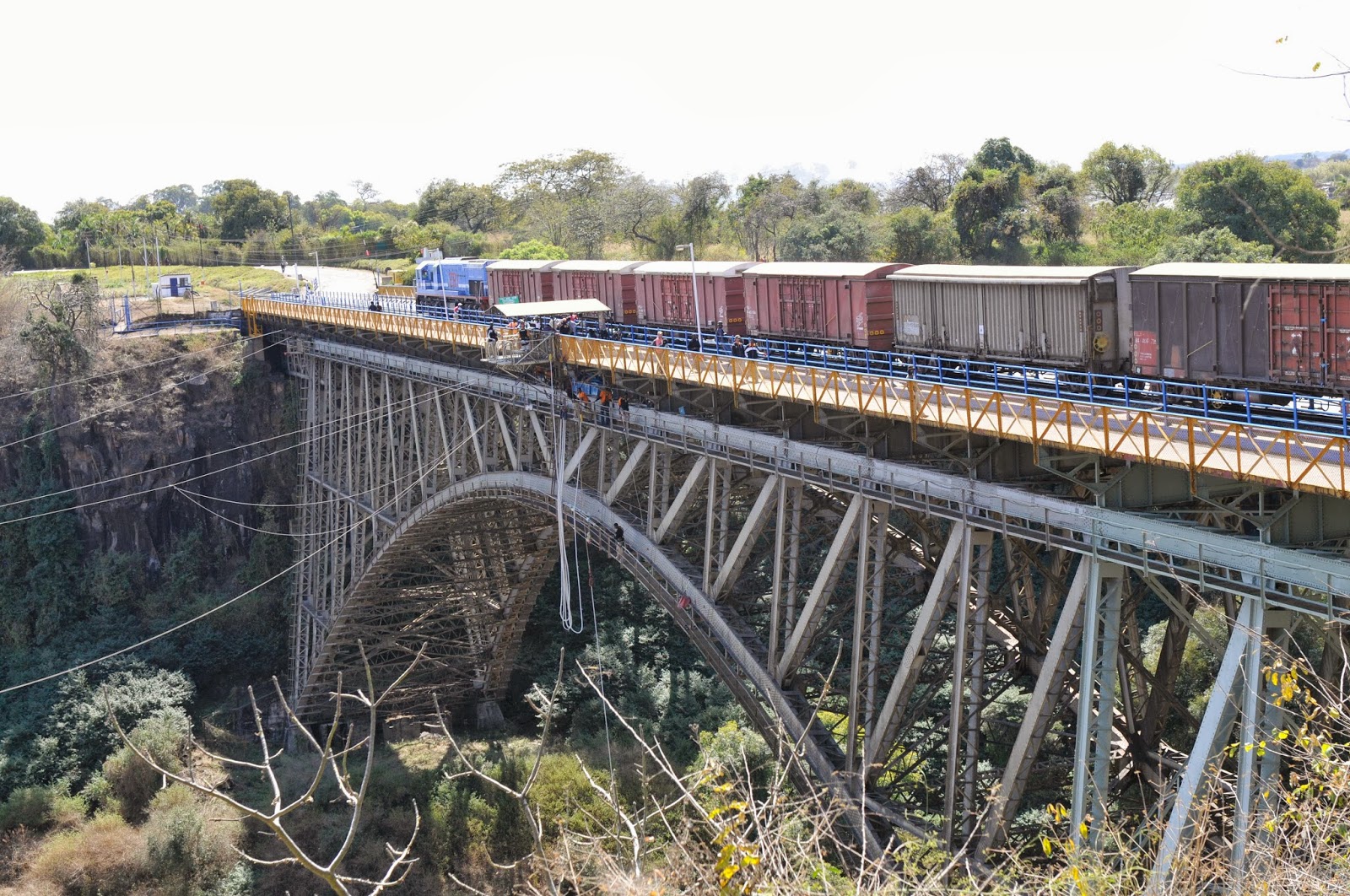
| The bridge was the idea of Cecil Rhodes. In an effort to entice Europeans he wanted to create a bridge where the people on the train could feel the spray from the falls and he almost did. The bridge has a walkway, a paved road, and a train track on its single level. It was built from each side of the river and met in the middle. It was a challenge to get the materials to the “other” side of the river and the first construction project was a cable system for trollying hundreds of tons of steel to the far side of the river. In addition to the transportation aspect of the bridge it now has zip lines, bungy jumps, and bridge walks that allow you to walk from side to side under the bridge on a catwalk. Adrenaline reigns supreme. |
 |
| The view up the river channel to the falls can be seen while walking under the bridge on a metal catwalk. This is (again) variable depending on the time of year and the flow. |
 |
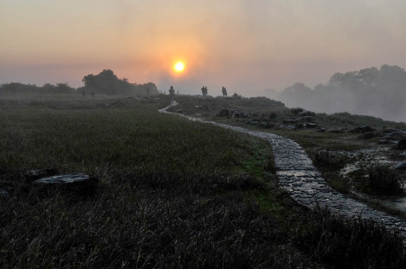
| On both sides of the river there are paths and walkways to allow close looks at the falls and gorge. When there is a lot of water falling the mist is heavy and the views shrouded. The best time to see the falls is (counterintuitively) during periods of low flow. From the air is is perhaps best at high water but a walking visit is much drier at low water. |
 |
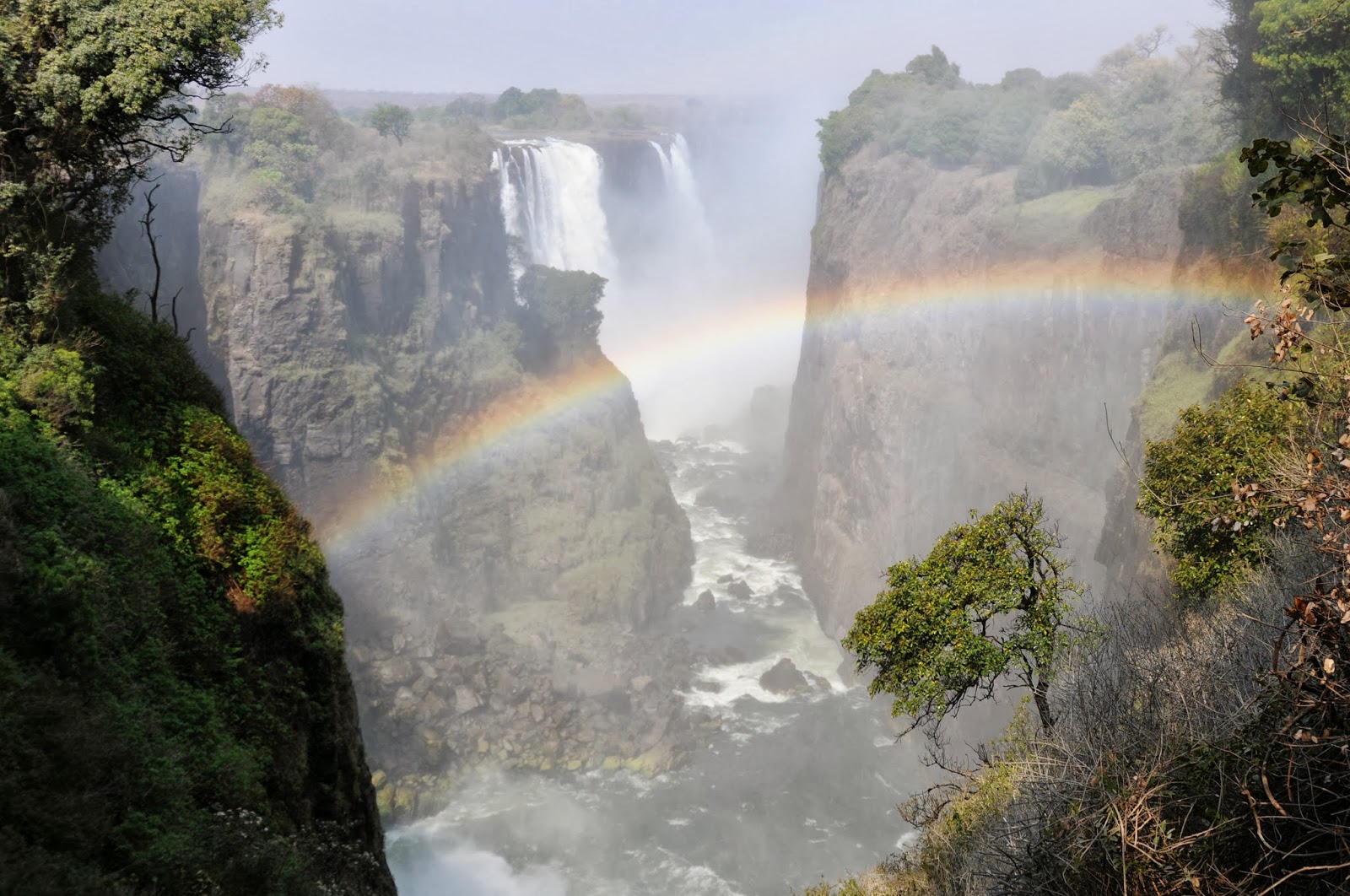
| Rainbows are common late afternoon phenomena. The haze created by burning grasses and dust can impair the overall view. But on any day, and especially a clear day, a helicopter ride of the falls is a treat. It is always a kick to see glaciers or volcanoes or ocean storms or great waterfalls. The earth is nearly smooth overall but these geologic activities keep things exciting. On a human scale the impacts are serious even if they don’t amount to much on a worldwide basis. |
 |
| There is a place where you can walk through shallow water and reach the very edge of the falls. Once in this pool you can lean out over the falls and look to the bottom of the cascade. The group in the center/top of the above image are about to be extended out over the lip of the falls. Where they are sitting looks precarious enough. |
 |
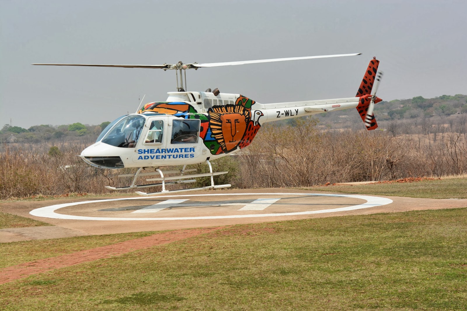
| I don’t usually promote add-ons for travelers – but the helicopter ride over Victoria Falls displays millennia of geologic activity, shows the power of water, allows a long view of African open space, features the rather languid and broad river, elephants, a crocodile farm, and the grandeur of the falls themselves. This is an extra that is probably worth it. |


The author of this blog have shared great facts about the Victoria Falls. The river is typically in full flood during February and March, when as much as 540 million cubic meters of water fall over the edge every single minute. During the flood season, however, it is impossible to see the foot of the falls and most of its face. I visited these falls just after my niagara falls tour. By November, when the water is at low ebb, visitors may see the actual view of these falls.
LikeLike